| OpenStreetView Launches |
| Written by Kay Ewbank | |||
| Thursday, 01 September 2016 | |||
|
A street image application and map that is free to use and crowd sourced has been launched by OpenStreetMap. OpenStreetView provides a way to collect and show geo-referenced street view imagery for OpenStreetMap, an open source alternative to proprietary mapping services such as Google Maps and Bing Maps.
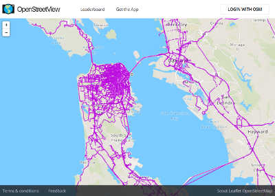
The new OpenStreetView has a different way of working. No 'official' images are included, and instead you see images captured and uploaded by other users. This means the service doesn't offer full views of the street in the way familiar from products such as Google Maps, and the coverage varies depending on how many local users there are for a particular place.
The advantage it offers is that while OpenStreetView is a Telenav project, the software is open-sourced and the imagery is free to use under a Creative Commons license. There are iOS and Android apps for collecting and uploading imagery, and you can view all the available Street View imagery on the OpenStreetView desktop map. It has a specialized map editor, and a plugin for JOSM. Support for iD is also planned. The mobile apps let you capture trips, and are optimized for driving. The plan is that OpenStreetView will make OpenStreetMap more useful. OpenStreetMap is the collaborative project to create a free and editable map of the world. One interesting aspect of OpenStreetView is its ability to recognize road speed signs in uploaded images The developers are also working on ways to have the software automatically detect street lanes and lane restrictions, and to add this data into OpenStreetMap. The developers say that in one of the forthcoming builds, the software will detect speed limit signs in real time and can warn you if you are speeding.
The software can also be linked to an OBD2 dongle in your car, which will then read various diagnostic info from the car and broadcast it over Bluetooth or WiFi. If connected to the dongle, OSV will use the information from this for the speed and curve of your car's trajectory to improve the accuracy of the GPS signal where reception is poor. The JOSM plugin is still at an early beta stage, and currently displays the locations of images on the OSV server, so you can click on them to show the image in the OSV panel.
More InformationRelated ArticlesBing Maps Adds Spatial Maths Geometry New StreetView Renderer For Google Maps API Getting Started With Google Maps Google Maps API Libraries For Java And Python
To be informed about new articles on I Programmer, sign up for our weekly newsletter,subscribe to the RSS feed and follow us on, Twitter, Facebook, Google+ or Linkedin.

Comments
or email your comment to: comments@i-programmer.info |
|||
| Last Updated ( Thursday, 01 September 2016 ) |