| Roads API For A Smooth Accurate Track |
| Written by Alex Armstrong | |||
| Friday, 06 March 2015 | |||
|
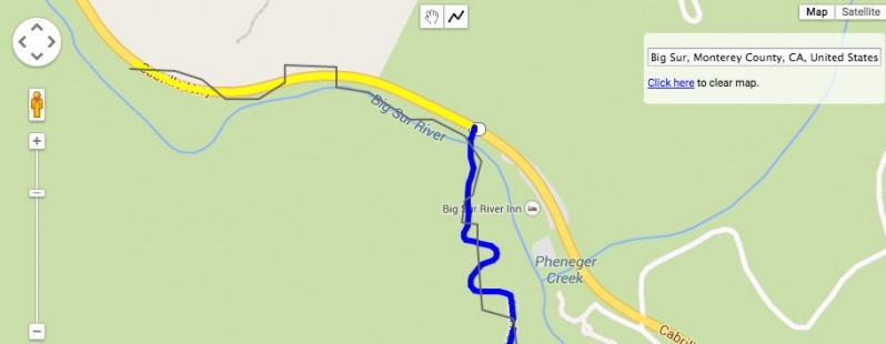
The Google Maps Roads API addresses the problem of wiggles in the tracks recorded by mobile phones by providing a snap-to-road facility.
Alex Danilo explains in this video it retrofits the "breadcrumb trail", or rather the sampled GPS co-ordinates, laid down as you drive or cycle along a route and moves them to the roads you were actually using. This allows for much neater and more accurate visualization of the journey you made
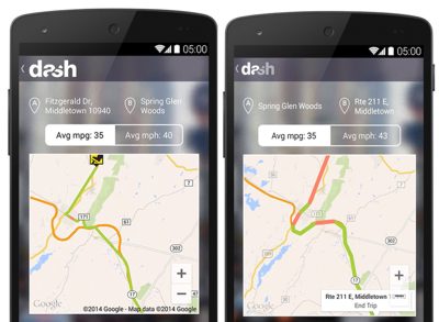
One advantage of the more accurate tracks provided by the Roads API is that it means you can divide distance by time to report the speed of travel. While the snap-to-road features is available for free with a limit of 2500 queries per day, if you have a paid subscription to the Google Maps API for Work, the Roads API also gives you access to speed limit data from all over the world which means you can build apps that inform users when they are speeding. Google has partnered with Dash, developers of a connected driving app to demonstrate the benefits of the new API - the mobile on the left is without the Roads API and the one on the right is with it.
Google has also made sample code and documentation available
More InformationGoogle Maps welcomes the new Roads API Related Articles
To be informed about new articles on I Programmer, install the I Programmer Toolbar, subscribe to the RSS feed, follow us on, Twitter, Facebook, Google+ or Linkedin, or sign up for our weekly newsletter.
Comments
or email your comment to: comments@i-programmer.info |
|||
| Last Updated ( Friday, 06 March 2015 ) |


